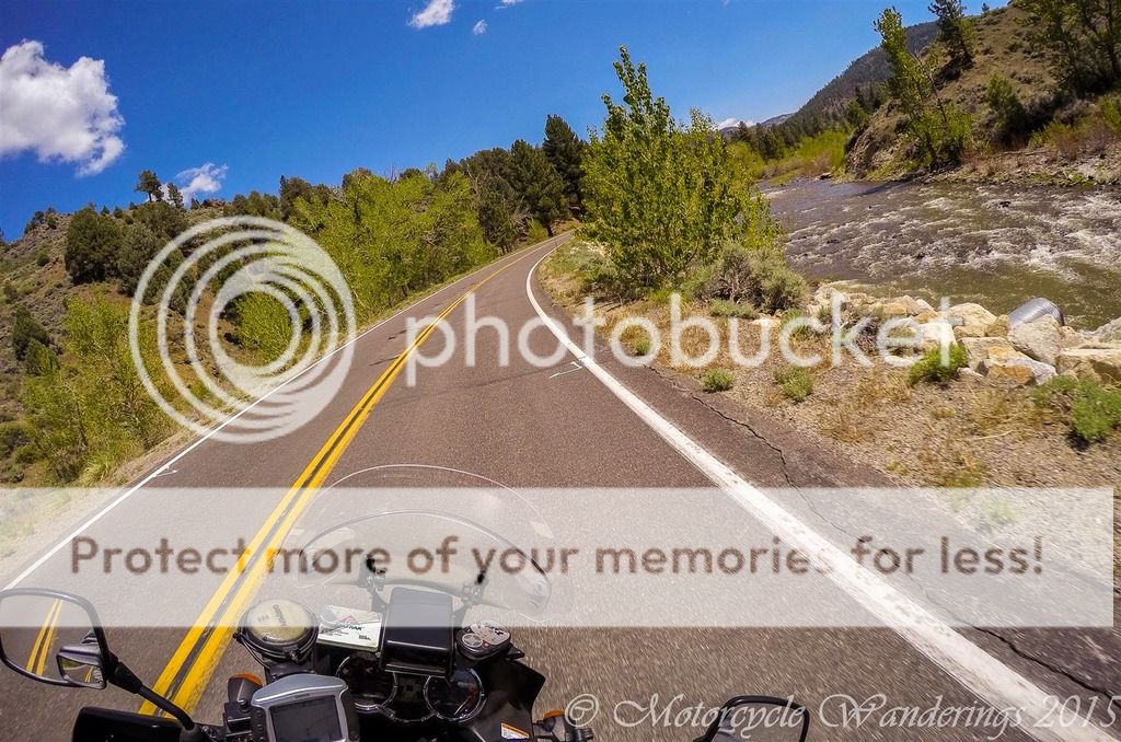
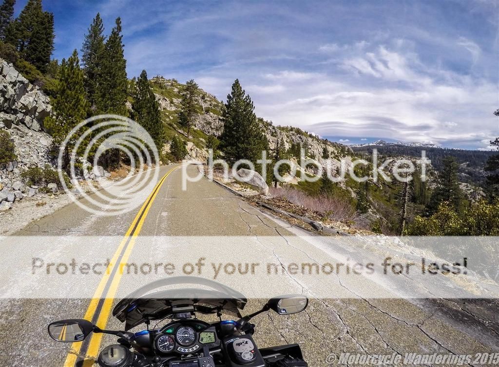
This Road Report picks up right out of the town of Markleeville, CA on Hwy 89. Markleeville is a tiny town in Alpine County, which has grown quite popular with the motor sports crowd and is a good option for a brunch or lunch stop while you transit to or from the destination passes (Monitor/Ebbetts). You never know what you will find in Markleeville, CA.
Riding a motorcycle is the closest you will ever get to flying, without ever leaving the ground.
Showing posts with label Sierra Mountains. Show all posts
Showing posts with label Sierra Mountains. Show all posts
Saturday, May 16, 2015
Monitor Pass - Riding the Sierras Series.
Arguably for some, but inarguably for me, some of the best riding in the alpine country of the Sierras, and with some spectacular views! This stretch of Hwy 89 or Monitor Pass as it is called, is unlike the other highway passes which bridge the West side to the East (and entirely a different planet) side of the Sierras, in that it is entirely a two lane highway, and in my experience has also been *almost* always entirely deserted throughout the riding season. Which means, a much diminished chance of a smug Californian's snail paced Prius polluting your fun. In comparison Hwy 4 (Ebbetts Pass) while beautiful, is a one lane highway for about half of it's length, the stretches of Hwy 108 (Sonora Pass) are immense fun, but you will find it peppered with slow trucks and other four wheeled obstacles. Not to mention Hwy 120 (Tioga Pass) - the views are dramatic, countered by the astoundingly dense drivers and traffic you will encounter, either precipitating from or perhaps vindicating the 'retarded' speed limits on Hwy 120 as it passes through Yosemite National Park.
This Road Report picks up right out of the town of Markleeville, CA on Hwy 89. Markleeville is a tiny town in Alpine County, which has grown quite popular with the motor sports crowd and is a good option for a brunch or lunch stop while you transit to or from the destination passes (Monitor/Ebbetts). You never know what you will find in Markleeville, CA.
This Road Report picks up right out of the town of Markleeville, CA on Hwy 89. Markleeville is a tiny town in Alpine County, which has grown quite popular with the motor sports crowd and is a good option for a brunch or lunch stop while you transit to or from the destination passes (Monitor/Ebbetts). You never know what you will find in Markleeville, CA.
Monday, March 23, 2015
Ice House Rd - Riding the Sierras Series.
The savvy reader has probably figured out by now, that I have split one ride into three different road reports. It would seem I was taking a page out of Hollywood's playbook, but that's not so. It actually was the intention - report on one road per blog post. Instead of one blog post with a glut of pictures on all three roads, we now have three (hopefully) useful blog posts to keep a reader's attention.
For more detailed road Intel on this road - Pashnit.com can be a good resource.
Needless to say, this road report picks up where the previous one had left off. Wentworth Springs Rd dead-ends into a T-junction. Turn left and you head into ever more desolate wilderness - the road is rough and bumpy, but the rocky and rugged views can be engaging as you head towards Loon Lake Reservoir.
Thursday, March 19, 2015
Wentworth Springs Rd. - Riding the Sierras Series.
The second in a series of pictorial blog posts focusing on one local motorcycling road at a time. Once again presented in the context of a rider's-eye view. For reasons which will become evident as you read on - Wentworth Springs Rd is an extremely well known and popular motoring road around here. It starts in the Sierra Foothills out of Georgetown, CA and spits you out in the Sierra Mountains. Positioning you perfectly with two choices to weigh - Into the wilderness to the North, or to the South on another delightfully delicious winding road back towards civilization. Those two choices to be the subject of another blog post another time.
Once again, not meant to be a Road Guide. I will once again refer you over to Pashnit.com for Intel on Roads in California.
The first 14 miles or so out of Georgetown are "boxed in", even if ever more sparsely populated as you traverse. The road is still more or less lonesome (look to the right of the photo below..). The lonesomeness depends much on the day you are riding through. :)
Subscribe to:
Posts (Atom)


