The savvy reader has probably figured out by now, that I have split one ride into three different road reports. It would seem I was taking a page out of Hollywood's playbook, but that's not so. It actually was the intention - report on one road per blog post. Instead of one blog post with a glut of pictures on all three roads, we now have three (hopefully) useful blog posts to keep a reader's attention.
For more detailed road Intel on this road - Pashnit.com can be a good resource.
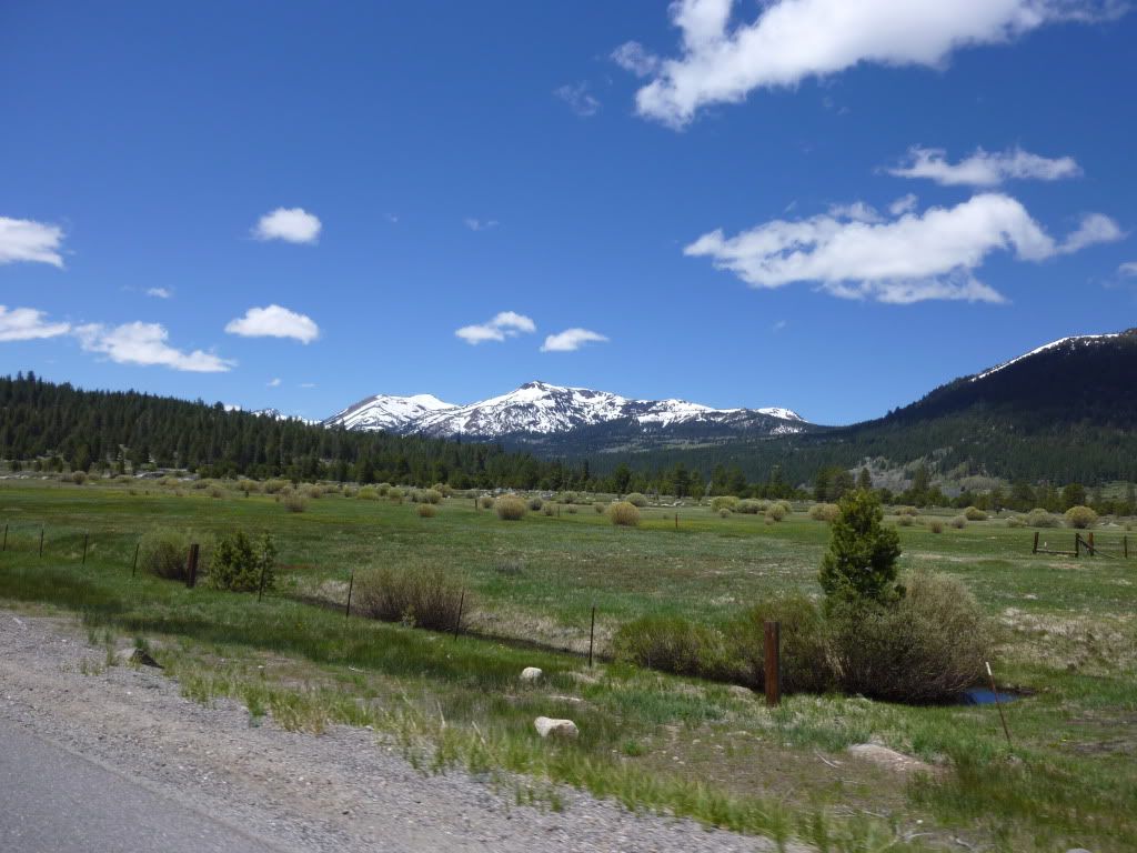
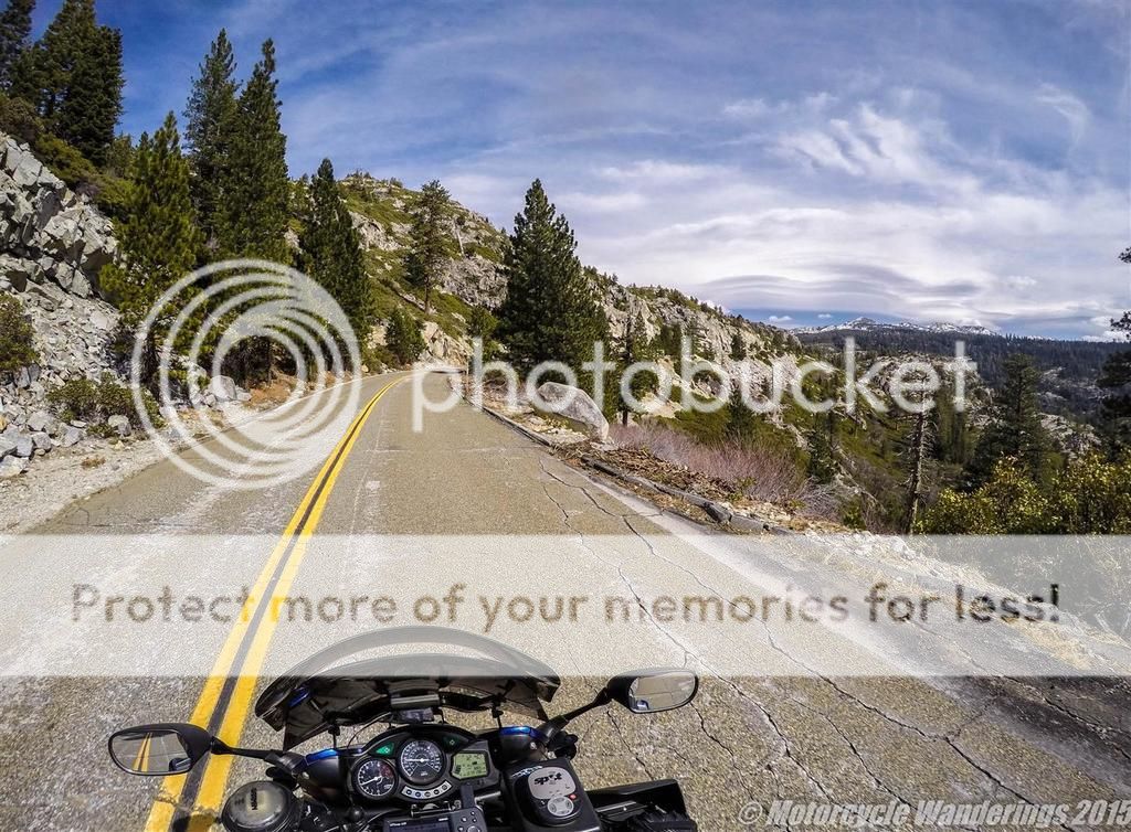
Needless to say, this road report picks up where the previous one had left off. Wentworth Springs Rd dead-ends into a T-junction. Turn left and you head into ever more desolate wilderness - the road is rough and bumpy, but the rocky and rugged views can be engaging as you head towards Loon Lake Reservoir.
Riding a motorcycle is the closest you will ever get to flying, without ever leaving the ground.
Showing posts with label Sierra. Show all posts
Showing posts with label Sierra. Show all posts
Monday, March 23, 2015
Thursday, March 19, 2015
Wentworth Springs Rd. - Riding the Sierras Series.
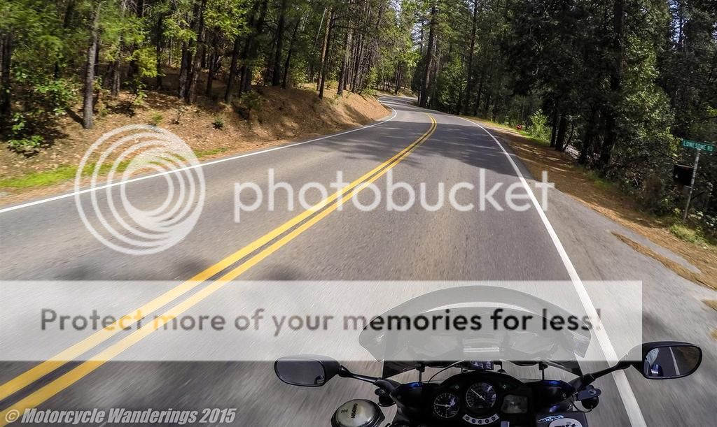
The second in a series of pictorial blog posts focusing on one local motorcycling road at a time. Once again presented in the context of a rider's-eye view. For reasons which will become evident as you read on - Wentworth Springs Rd is an extremely well known and popular motoring road around here. It starts in the Sierra Foothills out of Georgetown, CA and spits you out in the Sierra Mountains. Positioning you perfectly with two choices to weigh - Into the wilderness to the North, or to the South on another delightfully delicious winding road back towards civilization. Those two choices to be the subject of another blog post another time.
Once again, not meant to be a Road Guide. I will once again refer you over to Pashnit.com for Intel on Roads in California.
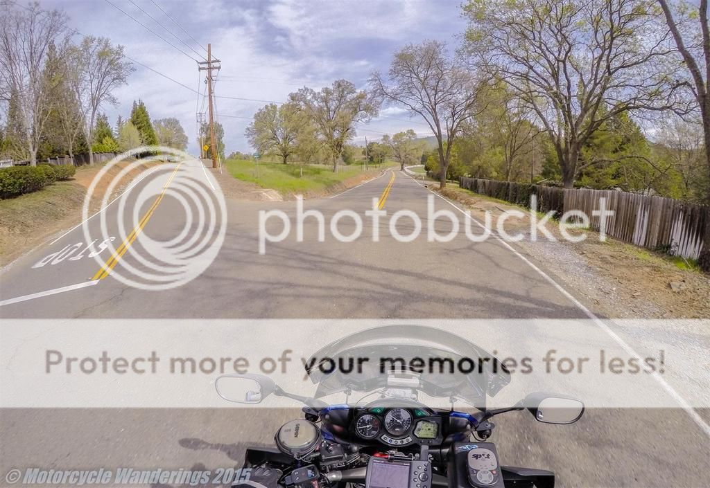
The first 14 miles or so out of Georgetown are "boxed in", even if ever more sparsely populated as you traverse. The road is still more or less lonesome (look to the right of the photo below..). The lonesomeness depends much on the day you are riding through. :)
Monday, March 16, 2015
Salmon Falls Rd. - Riding the Sierra Foothills Series.
Just a short pictorial blog post about a local road. Presented in the perspective of a rider's-eye view. Thinking of doing some pictorial series of the kind. This would be the first of that series.
Not meant to be a definitive road guide or anything resembling the like (Pashnit.com is a good resource for road Intel in California). This is just for fun.
Salmon Falls Road. A short but fun road, right in my backyard. Getting busier as the years roll on, it's best motorcycling days are way behind it. Depending on the day and your luck, it could be wide open with no cars, no squids and no CHP, or it can be chock-full of all of them. Roll the dice, take a chance, but ride prudently and safely!
When you come to a fork in the road. Take the one more fun!
Monday, June 14, 2010
The Beauty of Hwy 4 in the Sierra Mountains.
Mike and Old Michael were doing a Hwy 4 ride on Saturday, they invited me to the ride but I had a date Friday night and didn't come home till very late at night.
I checked my messages in the morning and they had just left the Eldorado Hills meetup location at 8:50AM - I figured I would try and intercept them at lunch in Markleeville.
I left at 10AM after a quick pre-ride check and fueling up. I took Hwy 50 to Meyers and then got on Hwy 89 over Luther Pass towards Hwy 88.

Friday, October 9, 2009
Sequoia and Kings Canyon National Parks.
Had been craving one last motorcycle touring trip in the Sierra Mountains before they get snowed in, I picked Sequoia National Park and Kings Canyon because I had never been there and Autumn is a great time to visit the Parks with most of the maddening swarms of people back to work or school.
Day 1: Oct 9th, 2009
Here is a pic of the bike all prepped and ready to go in the morning. I had rigged up the Garmin Nuvi 780 GPS to my bike (powered by a relay and mounted with a RAM handlebar mount) for this trip.
The GPS has a built-in MP3 player and voice guidance. I was able to import the routes and way points from MotoDan's paper maps into Mapsource and then into the GPS for turn by turn voice directions through the forest roads, the GPS actually interrupts your music to alert you of upcoming way points or turns and then starts playing again- sweet!!
Subscribe to:
Posts (Atom)


