After our return from Yosemite, our sights had shifted north for another great outdoors expedition to the volcanoes of northern California and southern Oregon. Our first stop was Lassen National Park. This park has the southernmost active volcanoes in the Cascade Range, part of the 'Pacific Ring of Fire'. This is an active geological area with boiling mud pots, smoking fumaroles and churning hot springs. In the picture below, you can see a smoking fumarole in the background.
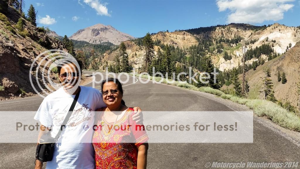
You are treated to a pretty good first view of the 'plug-dome' of the Lassen volcanic peak from the highway which winds through the park. Lassen peak is 10,463 feet tall and the highway will take you right next to and around the peak. Although I am not including any pictures of it, Lake Helen which sits at 8200 feet is a small but very pristine glacial lake, sandwiched between the highway and Lassen peak, and worth spending some time by, if you are visiting the park.
The other side of Lassen peak as seen from the "Road to Lassen" which has made an appearance a few times before on this blog. :)
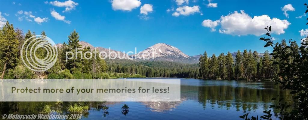
A panoramic view of Manzanita lake and a reflection of Lassen peak, near the north entrance (and in our case the exit) of the park. The water wasn't as calm and mirror like as I would have hoped for, but this was well past mid-day, so no chance of that. :)
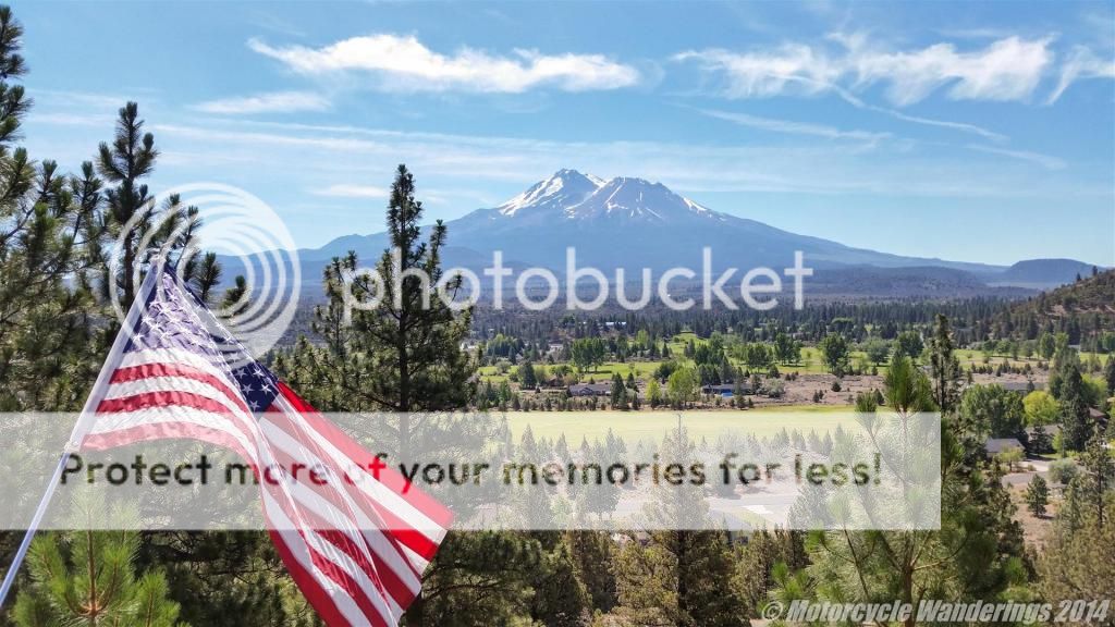
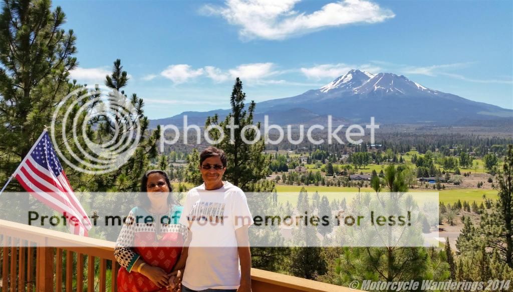
My favorite mountain and now also my mom's favorite mountain. Mt. Shasta - the most voluminous strato-volcano and the second highest peak in the Cascade range at 14,179 feet. Rising abruptly about 10,000 feet from the surrounding hills, it utterly dominates the surrounding landscape.
We were at my Aunt's house near Mt. Shasta to celebrate the 4th of July, which always translates into a festive get together with family and friends and a ribs barbecue which has no rival! No pictures of the feast, I am sorry to say. When both hands are occupied tearing into the BBQ, fiddling around with the camera? Ain't nobody got time for that! :)
Friends of the four legged kind are in plentiful supply at the Mt. Shasta resort and bed and breakfast/lunch/dinner. Six Mini-Shnauzers and three Dachshunds, among the five households which make up my Mt. Shasta extended family. The Schnauzers are by far my favorites, two of them pictured below. One of whom, in my opinion, is the one of the best doggies I have ever known! His name is Kudlow! :)
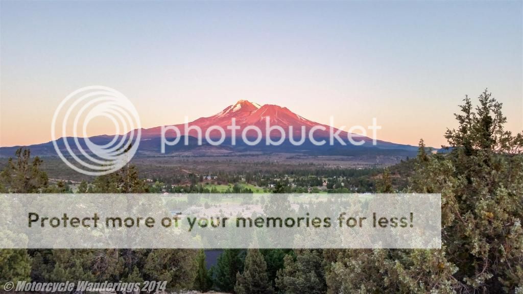
A 4th of July sunset, as the mountain-top steals the fire from the setting sun, and sets itself on fire! Such a beautiful country, and such a beautiful mountain, even if it is a volcano, which in recent history has been erupting every 600 years or so. The last eruption was 200 years ago, when the peak of Shastina erupted.
The day after the festivities, we headed to Crater Lake National Park which encompasses the caldera of Crater Lake, the remnant of a destroyed volcano called Mt. Mazama. Crater Lake is 1942 feet deep at it's deepest point. Making it the deepest lake in the USA.
We didn't have the time to circumnavigate the lake, but we enjoyed some panoramic views of this almost circular lake from several view points along the south side of the lake.
The lake has a core the deepest blue of any lake I have ever seen. Something beautiful and calm and serene which has taken the place of a violent volcanic eruption, which devastated the area and led to the dramatic collapse of an over 12,000 feet tall (estimated) volcano to form a deep caldera, which over a period of 7,700 years filled with water to form what is now Crater Lake.
You can see Crater Lake Lodge perched on the lakeside cliff on the left side of the panoramic shot below. They have a veranda with great views of the lake and also a restaurant with decent food, although as any other national park, the lack of competition for dining venues means the service is of the sub-standard variety.
Regardless, judging by those smiles, I think a great time was had by all! :)
Returning from Crater Lake, we spent another evening in Mt. Shasta at my Aunt's. Never a dull sunset at Mt. Shasta, I captured this when we went for a walk in the evening, as the wispy clouds and the mountain turned color.
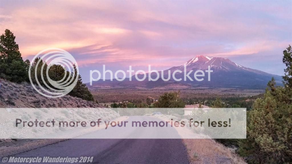 |
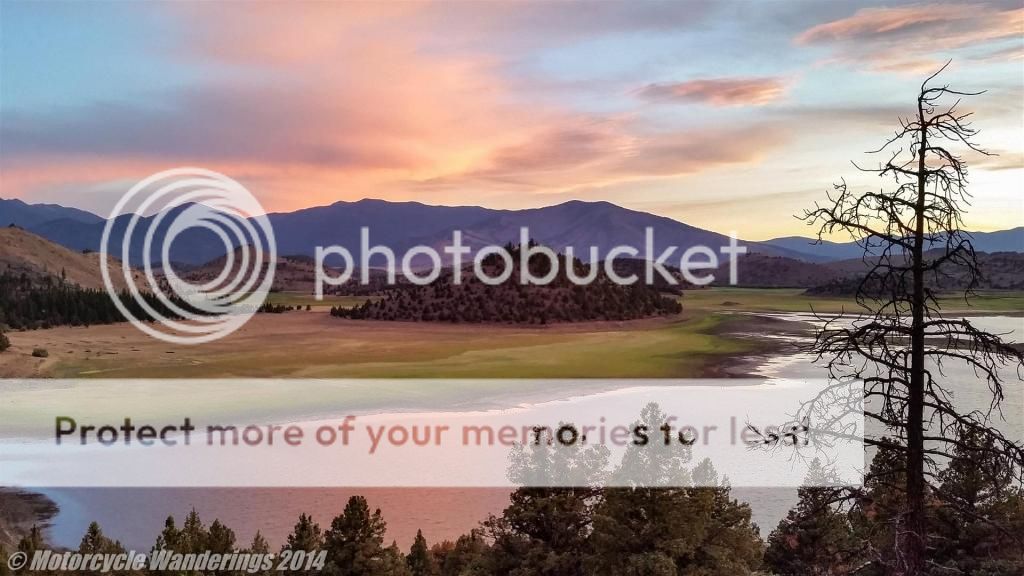
Looking the other way, the sun had already set behind the mountains bordering Lake Shastina. Such a beautiful countryside in the shadow of a fiery volcano.
We had another leg remaining in our journey across California, one that would take us to the coast, but I will set the sun on this narrative at this point, and leave the story of the coastal journey for another day.
Thank you for reading! :)






Looks like we engaged in some of the same road work over the summer. Ain't the west grand???
ReplyDeleteRoad work. I like that. Although, our road work doesn't improve the condition of the roads in any way, I can guarantee that our road work doesn't hold up or delay traffic in any shape or form either, and to top it off it is a visual and aural treat! :)
ReplyDeleteGood to hear from you Mr. B! :)
I was just wondering how you were doing since I hadn't seen any posts in a while.
ReplyDeleteIt doesn't matter if your blog post has motorcycle content or not, your photographs are always beautiful. I enjoy them immensely.
And regarding road work. We joke that the orange traffic cone is the Oregon State tree. :-)
Good to hear from you again and thank you for keeping me in mind. I hope you have been well also, it's been a busy year, and I have been doing a lot except for blogging or reading blogs much, but I have popped over to your tablet, although only occasionally.
DeleteI recently saw the Tillamook Air Museum from Hwy 101 on a trip this year - the one you mention in one of your day trip reports, but I didn't stop to take a look inside. Fortunately I didn't run into much Oregon State trees here when I was in Oregon. :)
Cheers!