

July 6th & 7th, 2012.
I don't get the whole "I stayed at a Holiday Inn Express last night". If I was staying at a somewhat comparable hotel I would rather stay at a Best Western Plus (or the Best Western Plus in Sutherlin, OR). Freshly baked home made cookies of all kinds - "free" for the taking and a made to order cooked breakfast in the morning. Good Morning Oregon!
We were heading towards Sweet Home. No, not home, sweet home, but Sweet Home, OR. About 411 miles to cover today and we took the easy start in the morning and slabbed it up I-5 to the Brownsville exit for Hwy 228. Despite oppressive enforcement of the retarded speed limits in this state, I was surprised to see how easy it was to find rabbits on the interstate. Don't mind us, just a couple of Dawgs chasing rabbits..
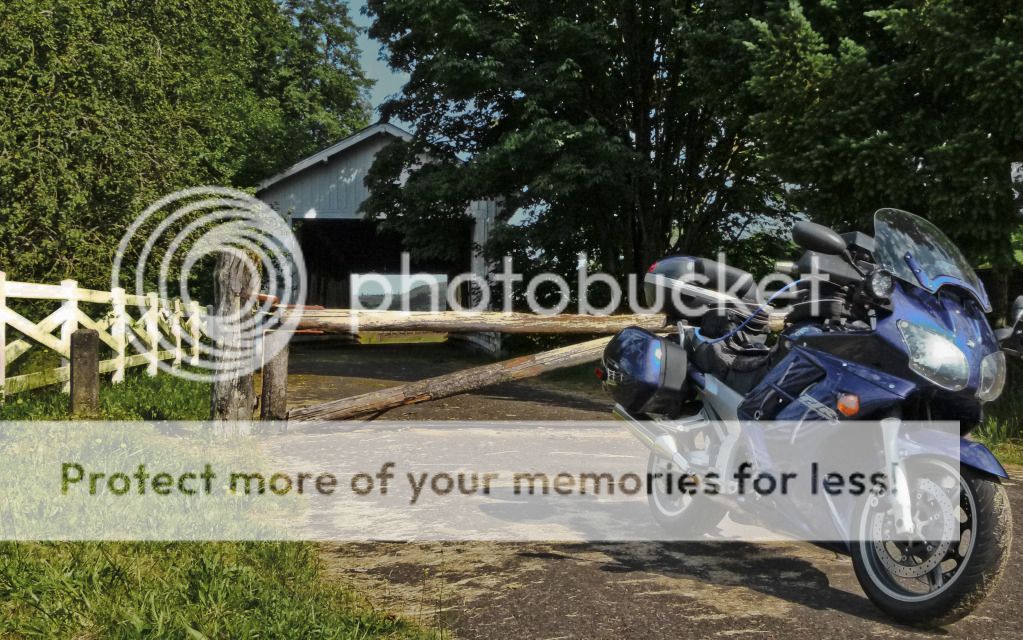
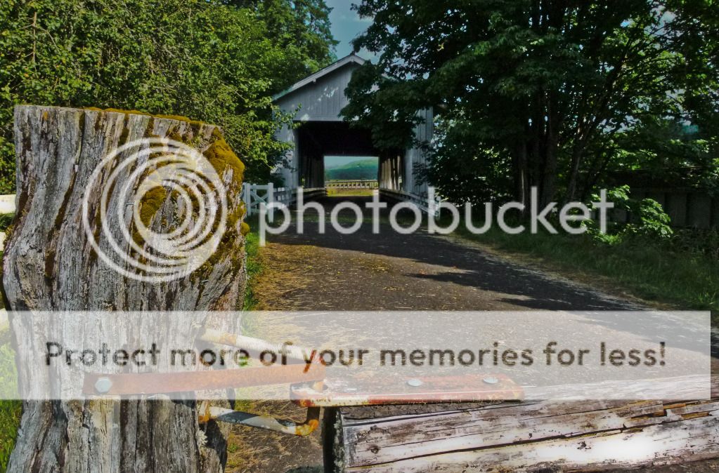
Our first stop was in Crawfordsville, as I spotted this covered bridge over the Calapooia River. Built in 1932, it was bypassed in 1963 and is now a pedestrian bridge across the river. There is also a park next to the bridge with picnic tables and a fire pit for you Iron Butt Motel aficionados.
The Calapooia river as seen from the bridge. Some strange cloud formations in this picture. I see someone running/dancing in the clouds - what do you see?

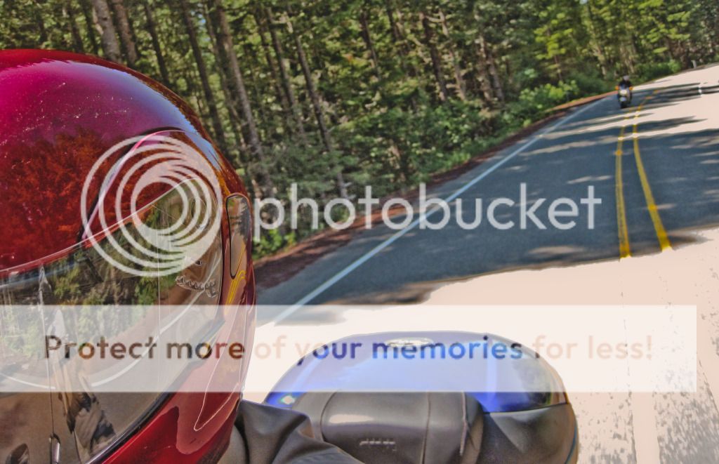
Hwy 20 out of Sweet Home, is pretty damn sweet! Great pavement and a variety of very good twists in the road to keep you smiling for miles and miles, and ride and smile we did - with authority! Non-existent traffic on this highway, except for a couple of Harleys paddling along, who just heard two screaming in-line 4s approach and blast past in a whirlwind, before they could say - what, where, who?
Here is the camera taking a look back at Brian, in one of the lesser curves we had just come out of. One of these days, I will get a GoPro camera in time lapse mode on the bike (although, I hear the battery life sucks) so I don't have to do this 'by hand'.
Met up with traffic in caravan mode when we merged onto Hwy 22, it was still pretty country to ride through, we could see Mt. Jefferson looming to the east as we made our way to Detroit Lake. Stopped here at the gas station at the corner of Hwy 22 and BreitenBush road and 'beat around the bush' a little.
This place here sells one of the best Oatmeal Raisin cookies I have ever had in my life! Made by the guy who works the counter at the store.
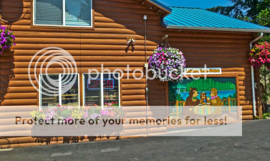
Their view of the lake from their dining room patio facing the lake, combined with that cookie made in heaven made me as happy as a Bear raiding a Beehive!
Spent a good amount of time here talking to a married couple riding matching BMW GS motorcycles. They were coming up from Bend (remember Bend, where we didn't go to party?) and heading back home to Seattle. They mentioned they hadn't rode up Breitenbush road in a couple years, but the last time they did one of them bottomed out pretty bad and blew out a fork hitting one of the many potholes on this road. Point very well taken, pay attention and no playing around with the camera while on the move.
The couple rode off north and we followed several minutes later keeping a keen eye out for potholes not readily visible in the shade. It is always good to err on the side of caution, but it seemed like ODOT had patched up the road pretty good in the past couple years, as we didn't see a single pothole till we turned off on NF-42 towards Oregon Skyline Road, which itself as it appeared had been freshly paved.
Smooth pavement on Breitenbush Road.
NF-42 starts off one lane, but once again fresh smooth pavement, a bit narrow at times, so can't make good time, but not bad at all!
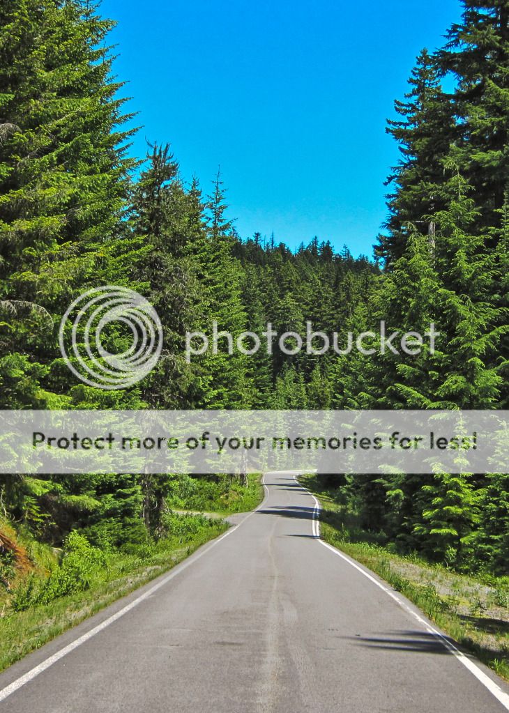
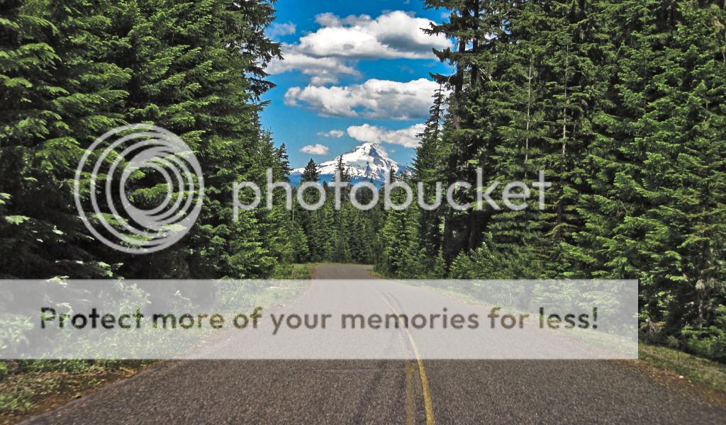
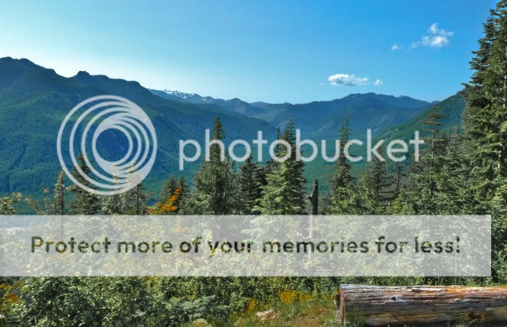
Once we met up with Oregon Skyline Road, we were riding atop this ridge on a nice, fast and twisty two lane road. Tall trees on either side of us, giving us a view, albeit a narrow one, of a big pretty sky. Then around the bend we come on this ridge and Mt. Hood is staring at us from in between the trees! It was fantastic!
Dropping down the other side we headed towards Timothy (would you like some tea?) Lake, inside joke don't worry about it. Couldn't find (didn't know) a good picnic area to view the lake so we made a very quick stop at a boat launch, took some pictures and got out of there before a ranger could catch us and ask for "day use" fees.
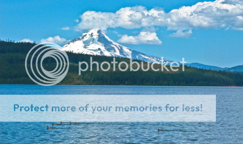
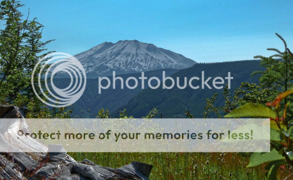
Taking a peek at Mt. Hood [11,239 ft] as it watches over Timmy Lake. Once again strange cloud formations looming overhead. I see an upside down volcano in the clouds, what do you see? Also love the shadows cast on Mt. Hood by the clouds. :)
Heading out of here and onto Mt. Hood highway (Hwy 35), is when the battery on my point and shoot camera took a nose dive. Here were were riding behind a Land Rover rabbit, and Mt. Adams comes into view domineering above Hood River. It was just an astounding scene, we could still see Mt. Hood filling up our rear view mirrors and then even farther ahead in the distance was a far more impressive mountain, an overbearing beast subjugating all other scenery around it and around us. I was looking desperately for a place to pull over and take it all in, looking hopelessly and in vain - as there was no pullout or a lookout we could find. Ever since then, I have been bitten by a desire so fierce for a do-over ride north on Hwy 35 between Mt. Hood and Mt. Adams [12,280 ft]! Till then, my painted words might have to suffice, but soon I hope, very soon!
Not to say that the Columbia River Gorge is any less impressive, that river is colossal and powerful, but once again we were at a loss to find a pull out for pictures, did try at one place, but it was a fee or pass required area once again with a park ranger so we kept on riding.
Wind River Road and NF-25 were next on the agenda. The ability to take pictures while riding had been disabled, but it in turn enabled some very good fun on the windy Wind River road, carrying on into NF-25 along the east side of Mt. St. Helens. Having done some research on the roads, I had been a bit wary of venturing here, lots of people bitching and complaining about road conditions, as is often the case on the interwebz (hahaha!). Not what we found, at least not on this portion anyway, it was an absolutely E-ticket ride, all the way up to the junction of Windy Ridge road (NF-99)!
We did stop once along the way at this pull out with dioramas. Now, I am often inclined not to take pictures of dioramas on ride reports, nor dwell on the information contained therein in my reports, but this is too interesting for me not to.
The two dioramas pictured below show the Clearwater valley right after the Mt. St. Helens eruption, documenting the devastation that was visited upon it. The shock wave of devastation lifting just before the spot we are standing on. 6-14 inches of pumice and ash blanketed the valley. Leaving behind a hodgepodge of fallen and dead standing trees.
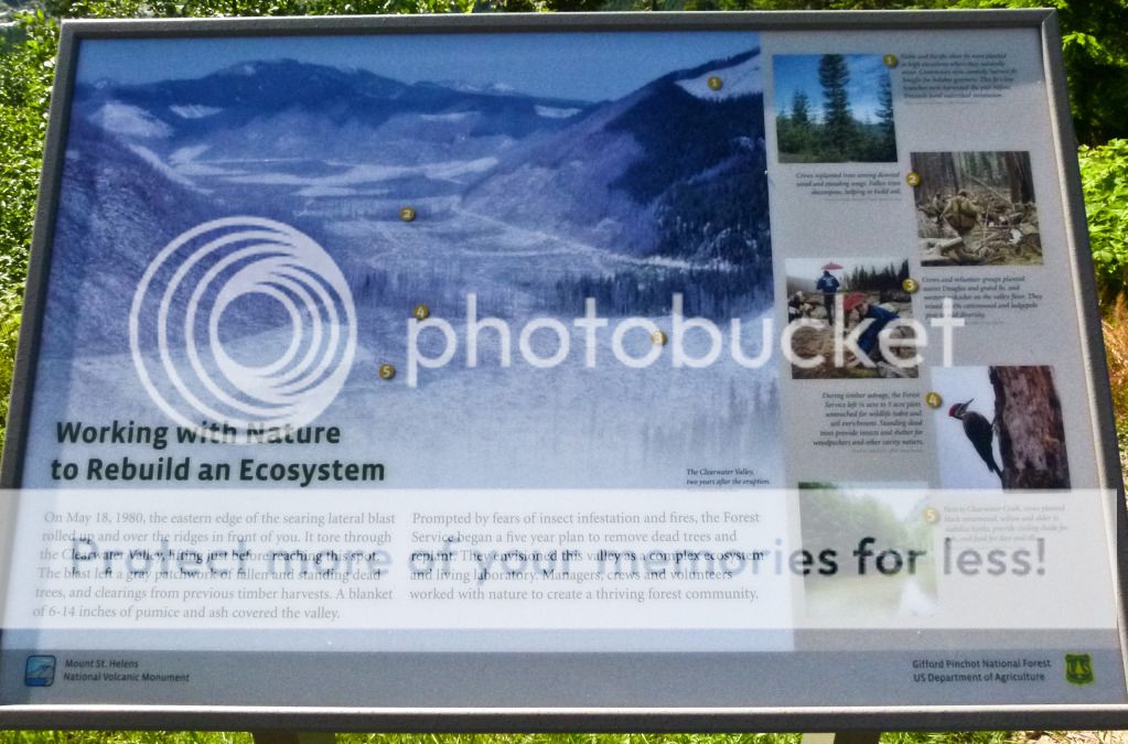
Forest researchers than installed experimental plots throughout the valley. A handful of their experiments and lessons learnt pictured below. I found them fascinating. I will refrain from making my own judgement on these findings. I will leave this exercise to the reader.
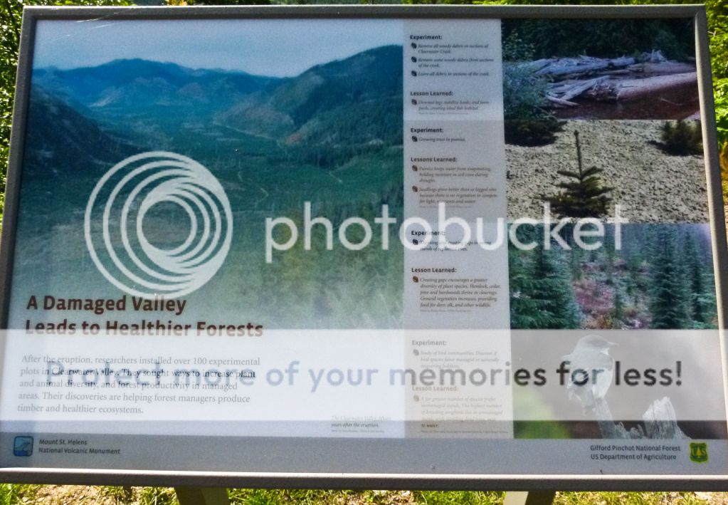
Experiments:
- Remove all wood debris in portions of Clearwater creek.
- Remove some wood debris from portions of Clearwater creek.
- Leave all wood debris in portions of Clearwater creek.
Lessons learnt:
Downed logs stabilize banks and create pools, creating ideal fish habitats.
Experiment:
- Growing trees in pumice versus plots with pumice removed.
Lesson learnt:
Pumice keeps water from evaporating, holding moisture in soil even during droughts.
Experiment:
- Thinning and creating gaps in young stands of replanted trees.
Lesson learnt:
Thinning and creating gaps encourages a greater diversity of plant species. Ground vegetation increases, providing food for deer, elk and other wildlife.
Experiment:
- Study of bird communities, to see if they prefer managed or naturally recovering habitats.
Lesson learnt:
A far greater number of birds prefer unmanaged stands of trees. The highest number of songbirds live in stands with dead trees, next to water.
All experiments aside, here is how the valley looks like now, 32 years after it was pillaged (or given a chance to rejuvenate, regenerate and be reborn) by St. Helens. Is it futile to try and save the planet? It seems to me that the planet is pretty good at saving/repairing itself.
Mt. St. Helens [8,365 ft after eruption, 9,677 ft before]
Past Windy Ridge (NF-99 which was closed at this time) is also where NF-25 turns to crap really fast and really bad! I think we were standing on our pegs pretty much the entire time to keep from being thrown off the bike. Potholes and just a messed up road crap of all imaginable kinds. A far cry from the smooth pavement we had just enjoyed before Windy ridge. Have no idea why!
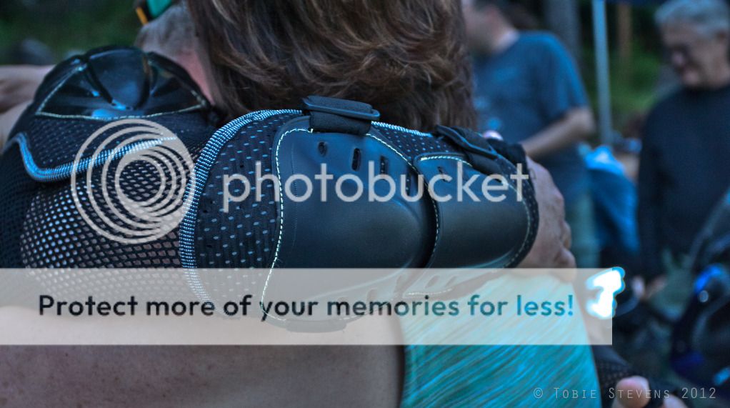
OK! So the serious part of the chapter is over! Leaving only the fun and goofy parts to follow! We had made it to Packwood and the party at Lisa and Tobie's cabin had already started. The pictures below, except the last one, were taken by Tobie and have been borrowed with permission.
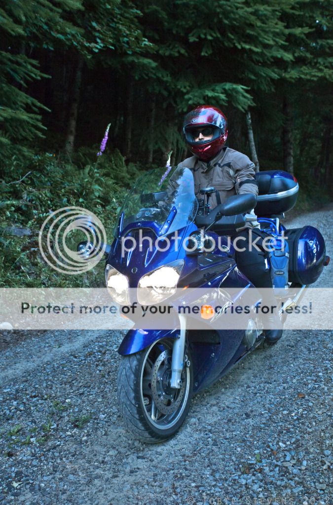
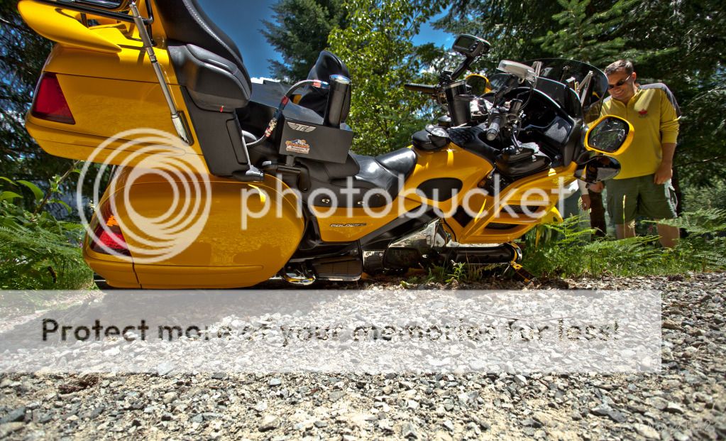
Here are Brian and I navigating the last of the dirt and gravel switchbacks to the cabin! That used up Honda has no ABS, so Brian could actually possibly use his rear brake going down that wretched slope! He is smiling from behind his helmet, so he is doing something right!
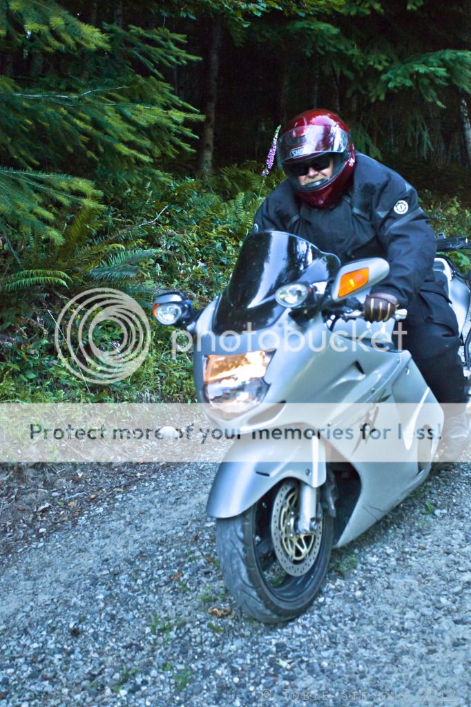
My turn now, no smile, ABS on the bike can't be switched off, which renders rear brake ineffective when the tire is slipping on dirt and gravel, I dare not touch the front brake for fear of taking a nap in the dirt with a 600 lb pig atop me, so that pretty much means no brakes at all. Who talked me into this anyway?
These gravel switchbacks on a 600 lb machine with no brakes have a tendency to make you wanna go Hinkle Tinkle in your pants! Why Hinkle Tinkle you ask? Probably not a surprise, but yes another inside joke!
At least, I wasn't the one who took a scenic drive(dive) off the precipice. Who is going to pick that up? Can you spot Matt beaming that ear to ear smile? As I would find out later, he is highly amused by getting other people into trouble.
Parked safe and sound, chick magnet Brian gets all the love from the ladies.
While Puppychow goes all psycho ape-shit, aided, abetted and encouraged by champion zombie slayer (and Mayor) Matt! I should have known better, nothing good could have come out of this!
Mostly it ended up looking like this...
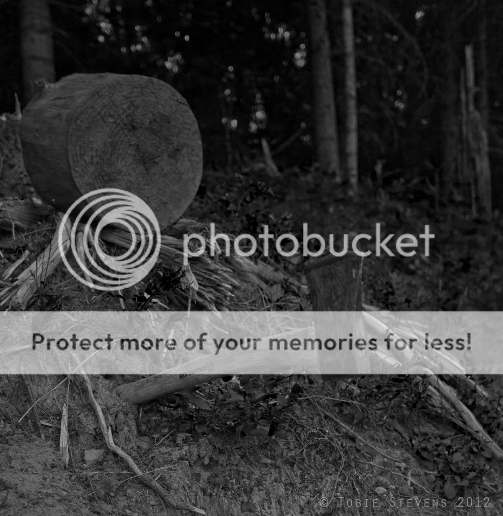
It looked like this once (and only once and not by my hand)..
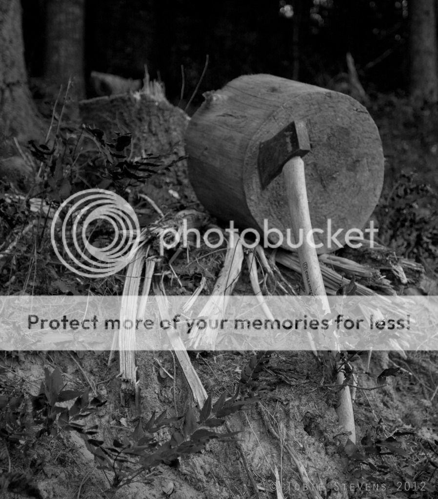
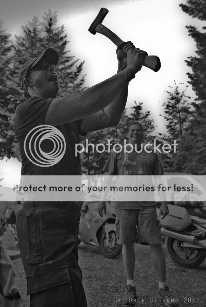
Till that chunk of wood came tumbling down the hill (after receiving a mighty axe blow from yours truly), and then proceeded to have it's way with some of Lisa's storage Tupperware. Guess who got in trouble with Lisa for that? No extra credit for guessing that it wasn't Mayor Matt!
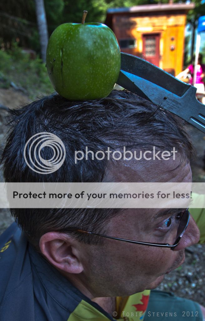
Although, he was meted out punishment of a different kind..Umm Yeah! That looks like a great idea!
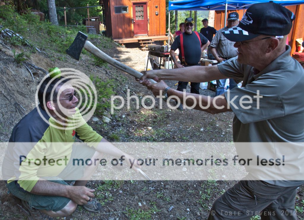
Why stop there? So does this!
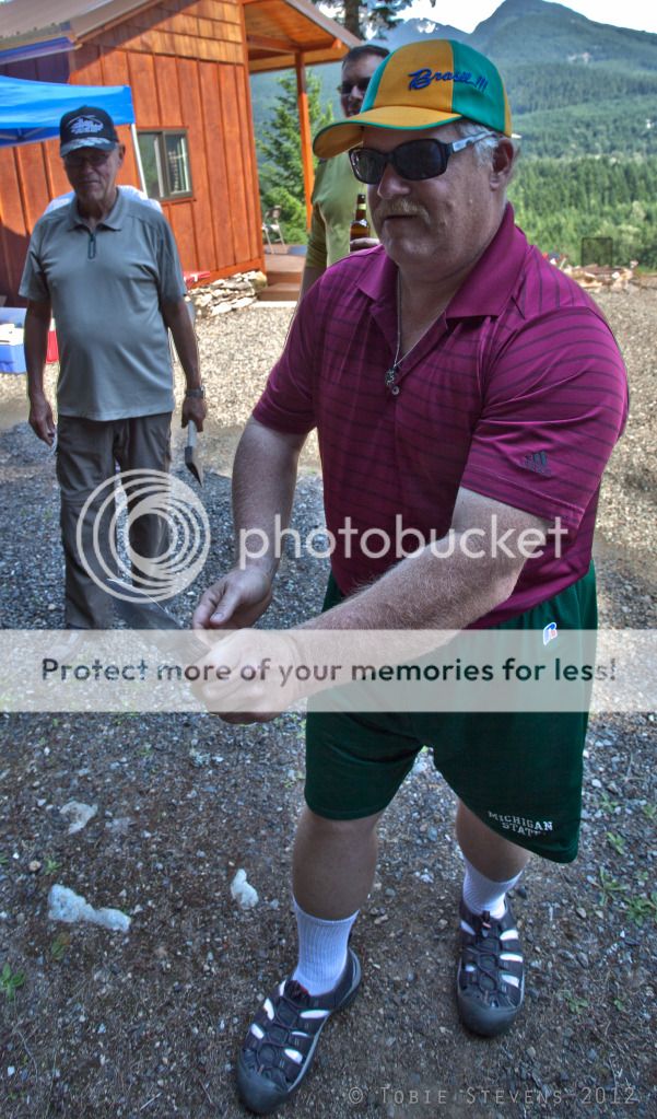
Then it was the zombie scorekeeper's turn to have a go. By the way - "Those white socks look absolutely great with your sandals Brian!" Said nobody ever!
Such a good time, ranks with the best of times I have had. Ending the chapter with a quote just as juvenile as what you see transpired in the pictures above. The great view from Lisa and Tobie's cabin in the woods, from where we can see your (Mt.) Johnson.
Thanks for reading! :)
No comments:
Post a Comment
I love to read your comments and suggestions and appreciate them very much, so please feel free to leave some. Although, to fight spam, I do limit comments to Registered Users which includes those with blogger accounts, or other Google accounts or OpenID accounts etc. Thank you!